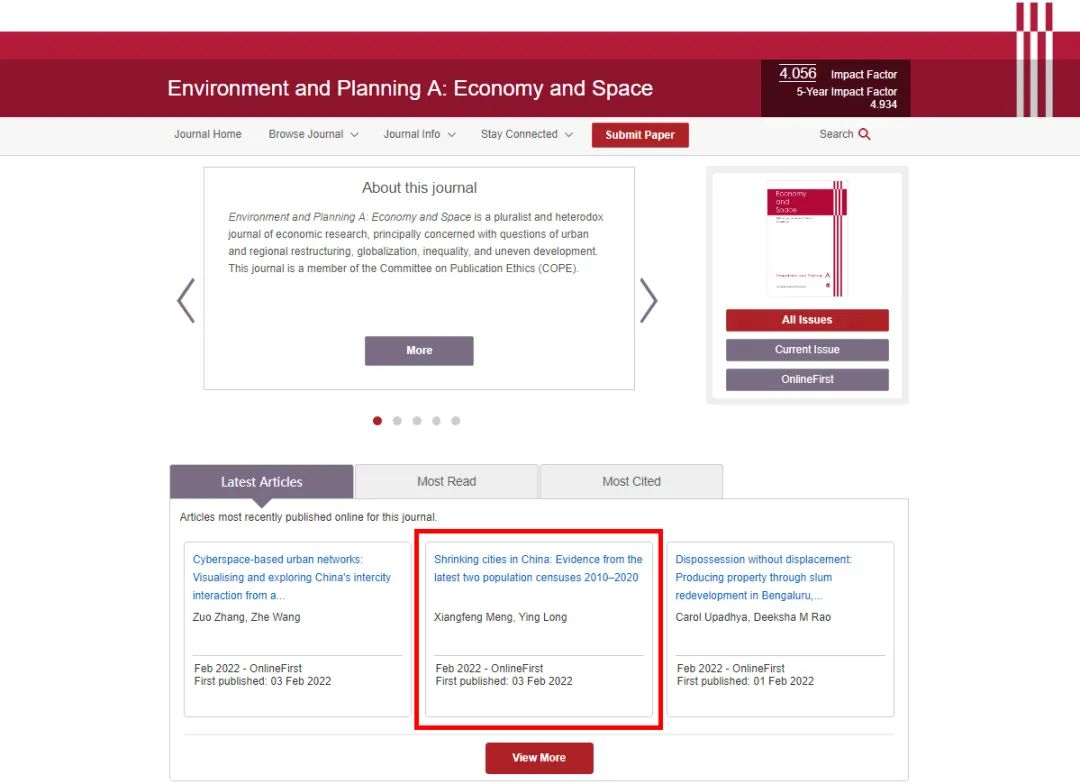
本期为大家推荐的内容为论文《Shrinking cities in China: Evidence from the latest two population censuses 2010–2020》(基于2010-2020年人口普查数据的中国收缩城市识别分析),发表在《Environment and Planning A: Economy and Space》的 Featured Graphic 频道,欢迎大家学习与交流。
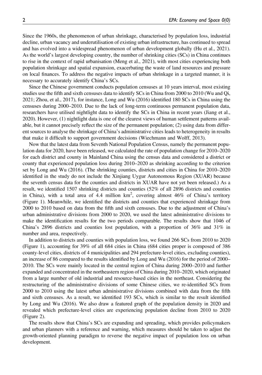
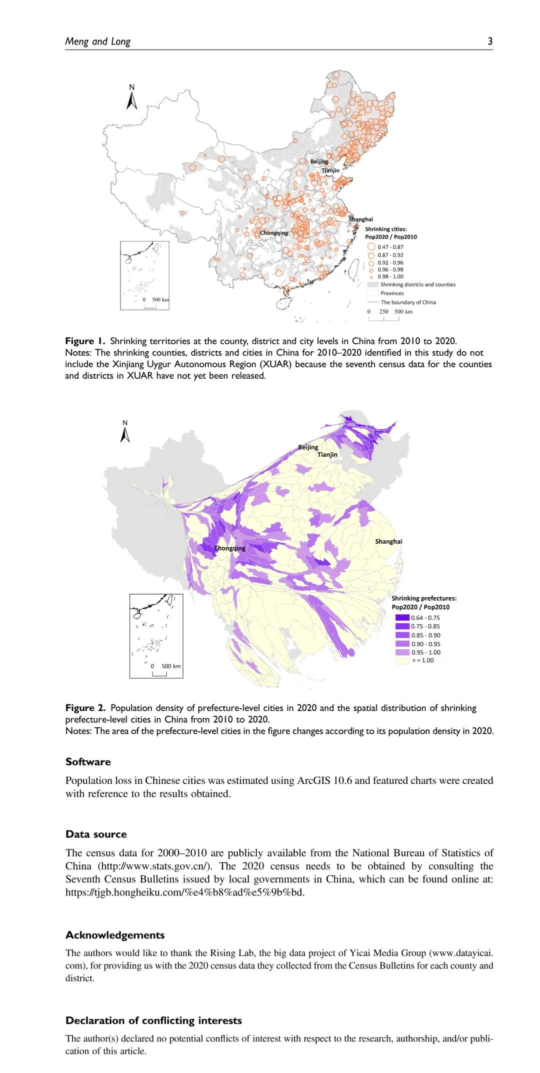
中国作为世界上最大的发展中国家,在快速城市化的背景下,大多数城市存在“人口流失,空间扩张” 并行的发展问题。为了有针对性地解决城市收缩带来的影响,准确识别中国的收缩城市是十分有必要的。在这项研究中,我们利用第六次和最新的第七次人口普查数据来识别和可视化中国2010-2020年期间正在经历人口流失的收缩城市。结果显示,我们识别出了1507个收缩的中国区县(占中国2896个区县的52%),这些收缩的区县总面积为440万平方公里,覆盖了中国领土的近46%。此外,我们进一步研究发现,2010-2020年中国收缩城市数量达到266个(占中国684个城市总量的39%),与2000-2010年中国收缩城市数量相比增加了86个。这说明中国城市收缩的现象已经变得更加严峻。从空间分布的角度来看,2010-2020年,中国的收缩城市更具有集聚性,主要集中在东北和中部地区。我们还按照收缩比例绘制了变形图,以揭示从2010年到2020年中国有哪些地级单元的人口正在减少。我们的发现为政策制定者和城市规划者提供了一个参考和预警:应采取措施,调整以增长为导向的城市规划范式,以扭转人口流失对城市发展的负面影响。
论文相关
About this Paper

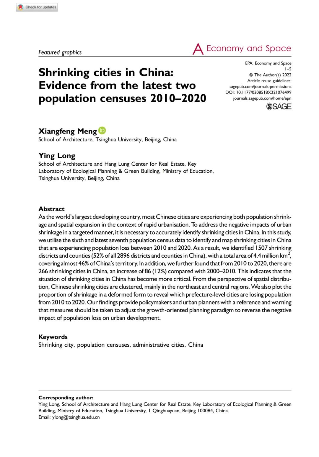
题目:《Shrinking cities in China: Evidence from the latest two population censuses 2010–2020》
(基于2010-2020年人口普查数据的中国收缩城市识别分析)
作者:Xiangfeng Meng; Ying Long
发表刊物:《Environment and Planning A: Economy and Space》
DOI: 10.1177/0308518X221076499
摘要ABSTRACT
As the world’s largest developing country, most Chinese cities are experiencing both population shrinkage and spatial expansion in the context of rapid urbanisation. To address the negative impacts of urban shrinkage in a targeted manner, it is necessary to accurately identify shrinking cities in China. In this study, we utilise the sixth and latest seventh population census data to identify and map shrinking cities in China that are experiencing population loss between 2010 and 2020. As a result, we identified 1507 shrinking districts and counties (52% of all 2896 districts and counties in China), with a total area of 4.4 million km2, covering almost 46% of China’s territory. In addition, we further found that from 2010 to 2020, there are 266 shrinking cities in China, an increase of 86 (12%) compared with 2000–2010. This indicates that the situation of shrinking cities in China has become more critical. From the perspective of spatial distribution, Chinese shrinking cities are clustered, mainly in the northeast and central regions. We also plot the proportion of shrinkage in a deformed form to reveal which prefecture-level cities are losing population from 2010 to 2020. Our findings provide policymakers and urban planners with a reference and warning that measures should be taken to adjust the growth-oriented planning paradigm to reverse the negative impact of population loss on urban development.

想要了解更多论文内容,请至浏览器搜索或点击文末“阅读原文”下载查看:
论文URL:
https://journals.sagepub.com/doi/10.1177/0308518X221076499
论文DOI:
10.1177/0308518X221076499


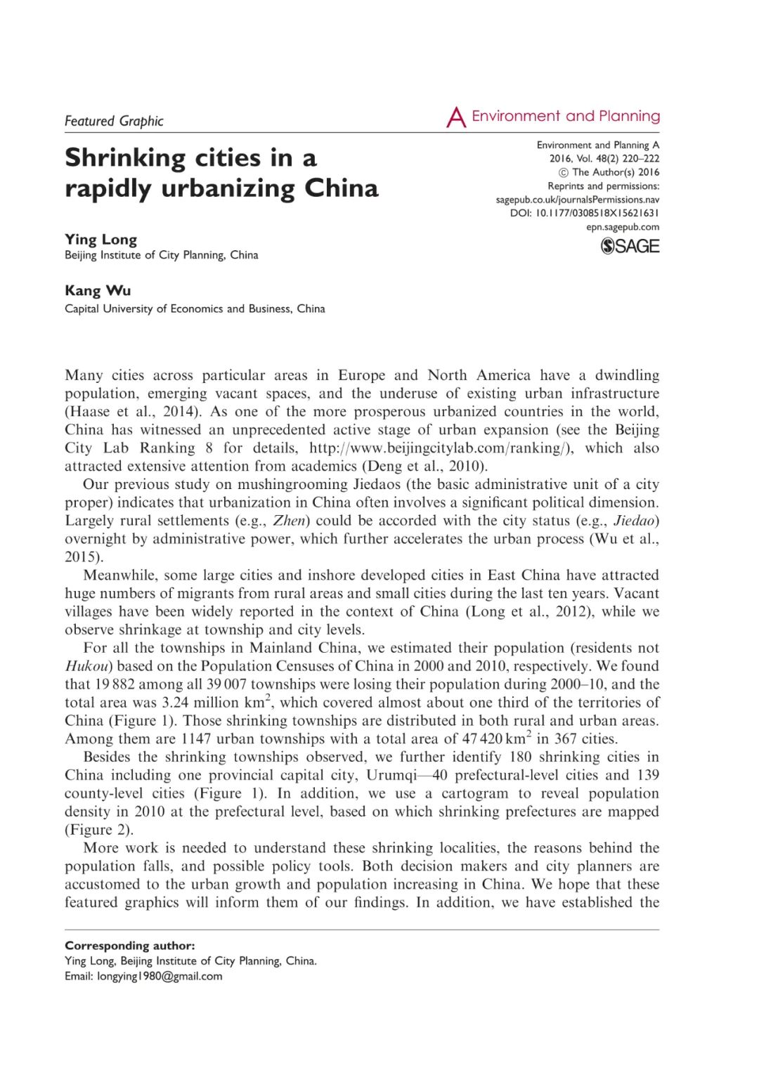
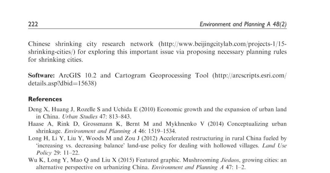
早在2016年,龙瀛和吴康已经注意到了中国城市和乡镇层面的城市收缩现象,在《Environment and Planning A: Economy and Space》的 Featured Graphic 频道发表《Shrinking cities in a rapidly urbanizing China》,他们根据2000年和2010年的中国人口普查数据来估计中国(大陆)乡镇的人口(非户口),经研究发现,在中国所有的39007个乡镇中,有19882个乡镇的人口在2000-2010年期间减少,总面积为324万平方公里,几乎占中国领土的三分之一。除了观察到收缩乡镇,还进一步确定了中国180个收缩城市。此外,他们用一张统计地图可视化2010年地级市的人口密度,并在此基础上绘制了中国收缩的地级市变形图。由此希望这些特色图形能够让更多的人了解他们的发现。
此外,他们还建立了‘中国收缩城市研究网络’(SCRNC)持续关注中国的城市收缩现象,开展相关研究,举办了后续一系列相关的学术会议。

更多关于“收缩城市”的研究工作详见:
https://www.beijingcitylab.com/projects-1/15-shrinking-cities/annual-conferences/
更多内容,请点击微信下方菜单即可查询。
请搜索微信号“Beijingcitylab”关注。

Email:BeijingCityLab@gmail.com
Emaillist: BCL@freelist.org
新浪微博:北京城市实验室BCL
微信号:beijingcitylab
网址: http://www.beijingcitylab.com
责任编辑:孟祥凤、孟庆祥
原文始发于微信公众号(北京城市实验室BCL):论文推荐 | 基于2010-2020年人口普查数据的中国收缩城市识别分析
 规划问道
规划问道


