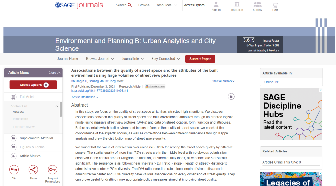
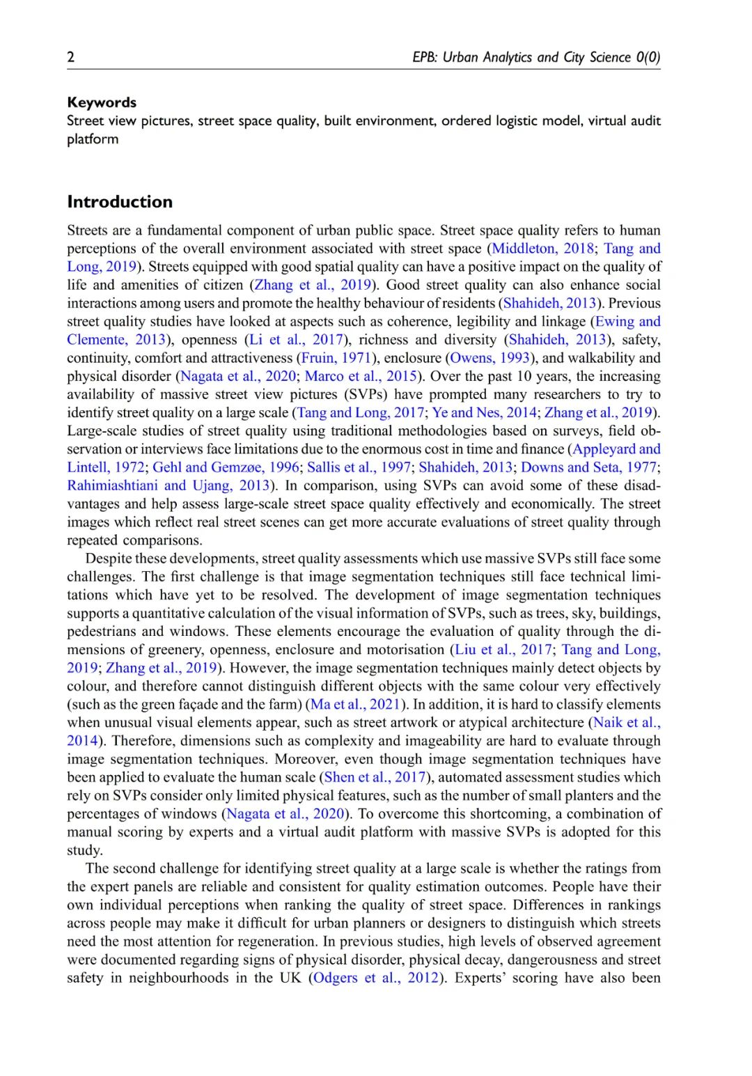
本期为大家推介的内容为文章《Associations between the quality of street space and the attributes of the built environment using large volumes of street view pictures》(基于海量街景图片的街道空间品质与建成环境关系识别研究),发表在《Environment and Planning B: Urban Analytics and City Science》,欢迎大家学习与交流。
本研究以备受关注的街道空间品质为研究对象。论文通过使用海量街景图片( SVPs )及表征街道位置、形态、功能和属性的数据,借助有序logistic模型识别街道空间品质与建成环境属性之间的关联。同时,论文验证了虚拟审计平台上专家评分结果的一致性,通过Kappa分析检验了个品质维度之间的相关性,并绘制了街道空间品质分布图探究其空间规律。论文实验发现,不同人群对街道空间品质评分的交并比(IoU)为85.61%。75%以上的街道空间品质处于中等水平,青岛中心区没有显著的极化现象。此外,对于街道空间品质指标,所有变量均具有统计学意义,其顺序为:贴线率> 高宽比>街道坡度>街道长度>距行政中心距离> 兴趣点多样性。高宽比、贴线率、街道坡度和长度、距行政中心距离和兴趣点多样性对街道空间品质不同维度影响各异。本研究解决了如何将主观街道体验转为客观可横/纵向对比的指标的问题,发展了人本尺度城市形态理论。
论文相关
About this Paper

题目:《Associations between the quality of street space and the attributes of the built environment using large volumes of street view pictures》
《基于海量街景图片的街道空间品质与建成环境关系识别研究》
作者:Shuangjin LI, Shuang Ma, De Tong, Zimu Jia, Pai Li and Ying Long
发表刊物:《Environment and Planning B: Urban Analytics and City Science》
DOI:10.1177/23998083211056341

摘要ABSTRACT
In this study, we focus on the quality of street space which has attracted high attentions. We discover associations between the quality of street space and built environment attributes through an ordered logistic model using massive street view pictures (SVPs) and data on street location, form, function and attributes. Before ascertain which built environment factors influence the quality of street space, we checked the concordance of the experts’ scores, as well as correlations between different dimensions through Kappa analysis and drew the distribution map of street space quality. We found that the value of intersection over union is 85.61% for scoring the street space quality by different people. The spatial quality of more than 75% streets are in the middle level with no obvious polarisation observed in the central area of Qingdao. In addition, for street quality index, all variables are statistically significant. The sequence is as follows: near-line rate > D/H ratio > slope > length of street > distance to administrative center > POIs diversity. The D/H ratio, near-line rate, slope length of street, distance to administrative center and POIs diversity have various associations on every dimension of street quality. They can prove useful for drafting more appropriate policy measures aimed at improving street quality.


想要了解更多文章内容,请至浏览器搜索或点击文末“阅读原文”下载查看:
文章URL:
https://journals.sagepub.com/doi/full/10.1177/23998083211056341
文章DOI:10.1177/23998083211056341
更多内容,请点击微信下方菜单即可查询。
请搜索微信号“Beijingcitylab”关注。

Email:BeijingCityLab@gmail.com
Emaillist: BCL@freelist.org
新浪微博:北京城市实验室BCL
微信号:beijingcitylab
网址: http://www.beijingcitylab.com
责任编辑:李双金、孟庆祥
原文始发于微信公众号(北京城市实验室BCL):文章推荐 | 基于海量街景图片的街道空间品质与建成环境关系识别研究
 规划问道
规划问道

![国际资讯 | [中东]阿曼塞拉莱滨水区重塑总体规划/卡塔尔公共交通总体规划(2025.5)-规划问道](https://weixin.caupdcloud.com/wp-content/uploads/2025/05/frc-69b1f46a51c00c56ea0c6452271abf56-220x90.jpg)


