Landscape专刊
Special Section on Measuring human-scale urban form and its performance
edited by
Ying Long and Yu Ye
Landscape and Urban Planning
01
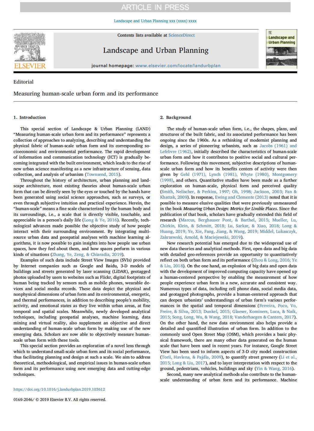
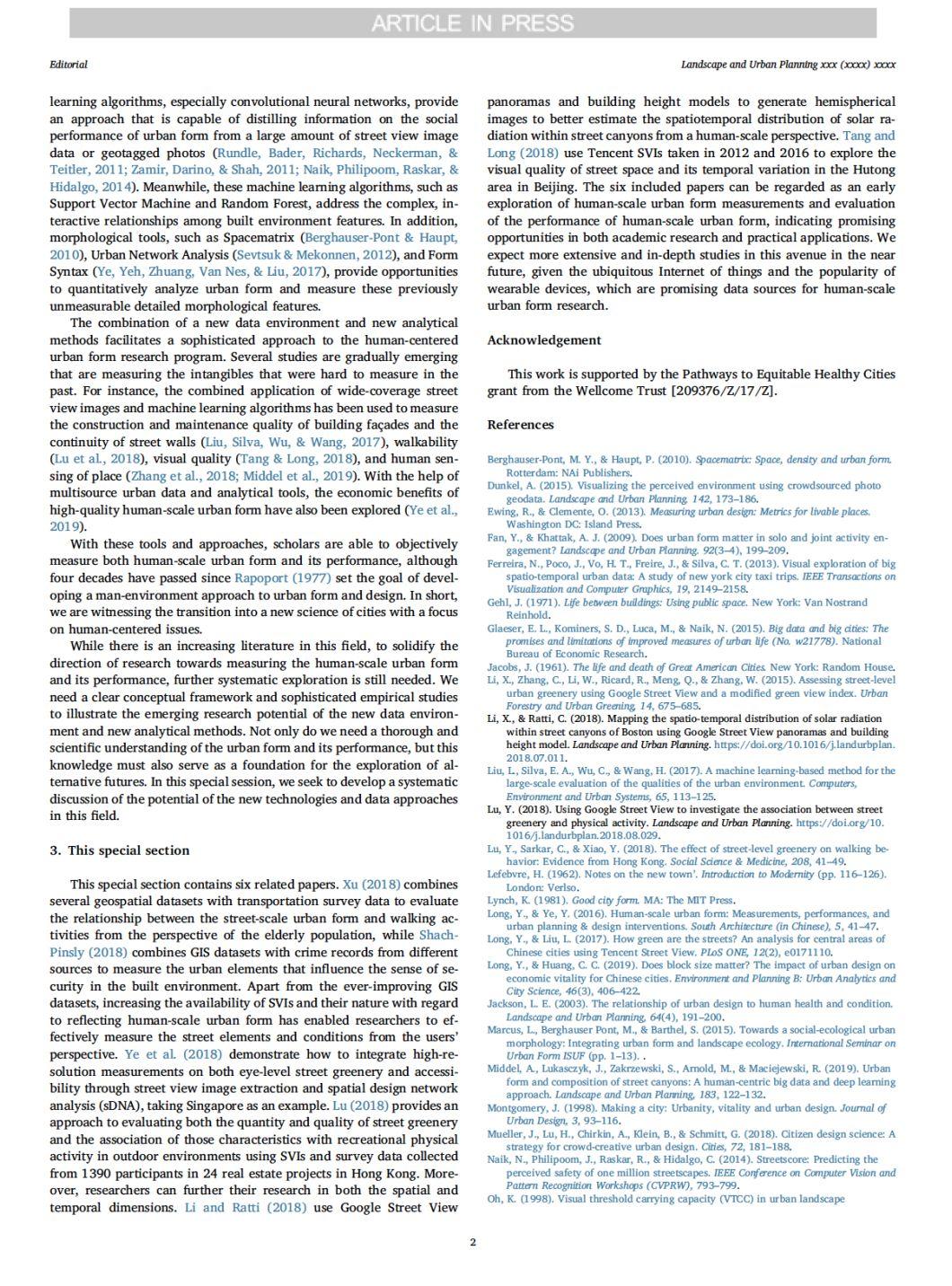
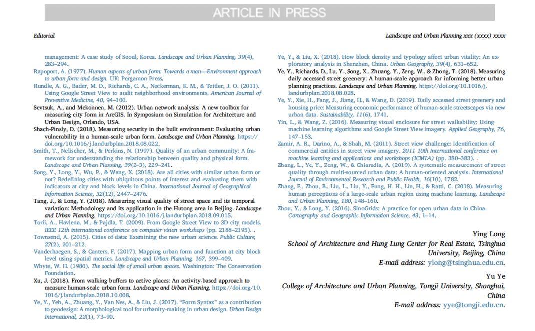
Measuring human-scale urban form and its performance
Ying Long and Yu Ye
Article 103612
02
From walking buffers to active places: An activity-based approach to measure human-scale urban form
JieLan Xu
Article 103452
ABSTRACT
Urban form measures have been increasingly used in multidisciplinary research, yet few studies have conceptualized different meanings of human-scale urban form for various population groups. This study proposes an activity-based approach that builds direct links between urban form measures and travel-activity patterns of various population groups. With a case study on older adults’ walking activity in Toronto, this study maps potential activity spaces for each population group, and measures the potential of social interaction at a land-parcel level. Based on a population-representative survey data and an open source routing algorithm, this study provides an exploratory method to conceptualize and measure human-scale urban form for different population groups. Further, this method helps to understand the non-linear relationships between conventional urban form measures and travel-activity patterns, and to inform planning interventions on urban form features that are particularly important for a specific population group.
03
Measuring security in the built environment: Evaluating urban vulnerability in a human-scale urban form
Dalit Shach-Pinsly
Article 103412
ABSTRACT
Designing secured urban spaces is one of the main ambitions of urban planners during the planning and design process. People usually travel by foot through safe routes and urban spaces in the built environment as they are perceived as safe areas, such as: lighted paths, walking on the livable side of a sidewalk instead of walking beside a sealed façade, or away from unsecured building entrances. The way people use and interact in their built environment involves their cognitive perception, which depends upon the urban fabric details. Therefore, planners and decision makers aimed in understanding the way the components of the built environment affect unsecured environments so as to assess the risks before design decisions are made. However, they lack new approaches and models with which to evaluate a qualitative sense of security that is understandable on a human-scale in the built environment. This research deals with this gap in information and measures one unmeasurable qualitative aspect of the built environment, the sense of security, in quantitative terms based on a geo-spatial system, and then relate it to human-scale urban form. The Security Rating Index (SRI) establishes a GIS-based, quantifiable system to identify and rate insecure urban spaces to be used by urban planners and city decision makers to evaluate and improve urban resilience. The system is based on measurements of urban elements that influence the sense of security in the built environment, and can be used to identify characteristics and hot spots of unsecured spaces in a city. The SRI is demonstrated on several case studies on different scales.
04
Measuring daily accessed street greenery: A human-scale approach for informing better urban planning practices
Yu Ye, Daniel Richards, Yi Lu, Xiaoping Song,Yu Zhuang, Wei Zeng, Teng Zhong
Article 103434
ABSTRACT
The public benefits of visible street greenery have been well recognised in a growing literature. Nevertheless, this issue was rare to be included into urban greenery and planning practices. As a response to this situation, we proposed an actionable approach for quantifying the daily exposure of urban residents to eye-level street greenery by integrating high resolution measurements on both greenery and accessibility. Google Street View (GSV) images in Singapore were collected and extracted through machine learning algorithms to achieve an accurate measurement on visible greenery. Street networks collected from Open Street Map (OSM) were analysed through spatial design network analysis (sDNA) to quantify the accessibility value of each street. The integration of street greenery and accessibility helps to measure greenery from a human-centred perspective, and it provides a decision-support tool for urban planners to highlight areas with prioritisation for planning interventions. Moreover, the performance between GSV-based street greenery and the urban green cover mapped by remote sensing was compared to justify the contribution of this new measurement. It suggested there was a mismatch between these two measurements, i.e., existing top-down viewpoint through satellites might not be equivalent to the benefits enjoyed by city residents. In short, this analytical approach contributes to a growing trend in integrating large, freely-available datasets with machine learning to inform planners, and it makes a step forward for urban planning practices through focusing on the human-scale measurement of accessed street greenery.
05
Using Google Street View to investigate the association between street greenery and physical activity
Yi Lu
Article 103435
ABSTRACT
Urban greenspaces have been demonstrated to have associations with physical activity and health. Yet empirical studies have almost exclusively focused on parks rather than street, although streets are among the most popular venues for physical activity and street greenery is an indispensable component of urban greenspaces. Even fewer greenspace-physical activity studies have objectively assessed eye-level street greenery. By using free Google Street View images, this study assessed both the quantity and quality of street greenery and associated them with the recreational physical activity occurring in green outdoor environments of 1390 participants in 24 housing estates in Hong Kong. After controlling for socio-demographic characteristics and other built environment factors, multilevel regression models revealed that the quality and quantity of street greenery were positively linked to recreational physical activity. Our finding is important for interpretations of the operational mechanisms between street greenery and health benefits because it demonstrates that physical activity is an intermediate health-related outcome. The findings also reveal the influences of eye-level street greenery on residents’ physical activity levels and hence contribute to the development and implementation of healthy cities to stimulate physical activity.
06
Mapping the spatio-temporal distribution of solar radiation within street canyons of Boston using Google Street View panoramas and building height model
Xiaojiang Li, Carlo Ratti
Article 103387
ABSTRACT
Studying the solar radiation within street canyons would provide an important reference for increasing human thermal comfort and decreasing the potential health issues caused by too much exposure from sunlight. In this study, we used building height model and publicly accessible Google Street View panoramas to map the spatio-temporal distribution of solar radiation within street canyons of Boston, Massachusetts. Hemispherical images generated from Google Street View panoramas and building height model together with sun paths in summer and winter were used to estimate the spatio-temporal distribution of solar radiation within street canyons. Results show that street canyons in the downtown area have shorter sunshine duration and lower solar radiation to the ground compared with other regions of the study area in the whole year. The southwestern part of the study area with the abundance of vegetation canopies has relatively short direct sunshine duration and low solar radiation reaching the ground in summer, and relatively long direct sunshine duration and high solar radiation reaching the ground in winter. This study also shows that it is possible to estimate shading precisely within street canyons for a specific time and date at a specific location. Considering the public accessibility of Google Street View data in cities around the world, this study can be easily deployed in other cities. This study would give a great impetus to all studies relating the solar radiation at street level in future.
07
Measuring visual quality of street space and its temporal variation: Methodology and
its application in the Hutong area in Beijing
Jingxian Tang, Ying Long
Article 103436
ABSTRACT
Although it is widely known that quality of street space plays a vital role in promoting urban vibrancy, there is still no consensus on how to quantitatively measure it for a large scale. Recent emerging dataset Street View Picture has revealed the possibility to overcome the previous limit, thus bringing forward a research paradigm shift. Taking this advantage, this paper explores a new approach for visual quality evaluation and variation identification of street space for a large area. Hutongs, which typically represent for historical street space in Beijing, are selected for empirical study. In the experimental part, we capture multi-years Tencent Street View Picture covering all the Hutongs, and conduct both physical and perceived visual quality evaluation. The physical visual quality of street space is achieved automatically by combining 3-dimensional composition calculation of greenery, openness, enclosure using machine-learning segmentation method SegNet, and 2-dimensional analysis of street wall continuity and cross-sectional proportion; perceived visual quality of street space is evaluated by stay willingness scoring from five aspects. The variation of quality is evaluated based on the identified physical space variations. The result indicates that visual quality of Hutongs are not satisfied, while some regeneration projects in the historical protection block is better. Most Hutongs are in shortage of visual green, relative more continuous but with low cross-sectional ratio. Hutongs near main road witness an increasing trend of motorization. The difference between physical and perceived quality indicates the feasibility and limitation of the auto-calculation method. In the most recent 3–4 years, less than 2.5% Hutongs are improved, which are mainly slow beautification.
更多期刊文章详细内容,请点击文末的“阅读原文”进一步了解。
请搜索微信号“Beijingcitylab”关注。
Email:BeijingCityLab@gmail.com
Emaillist: BCL@freelist.org
新浪微博:北京城市实验室BCL
微信号:beijingcitylab
网址: http://www.beijingcitylab.com
原文始发于微信公众号(北京城市实验室BCL):Landscape and Urban Planning专刊|人本尺度城市形态:测度与效应评估收录文章分享









 规划问道
规划问道


